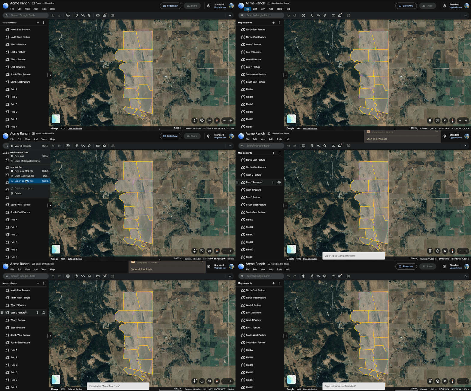
Creating The Paddock Boundaries File
To create a Season you need to upload a file with the paddock boundaries that were used. There are free tools for creating boundary files, such as Google Earth and QGIS. This tutorial will guide you through creating a KML file with your paddock boundaries using Google Earth.
Step 1: Create A New Project
Navigate to Google Earth and create a new project. Select the "New local kml file option".
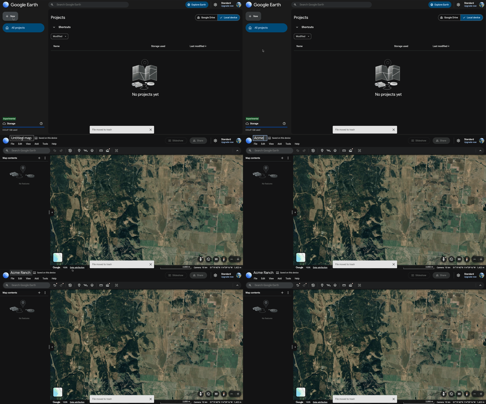
Step 2: Draw Your Paddock Boundaries
Use the Add path or polygon tool to draw your paddock boundaries on the map. Create a seperate polygon for each paddock. Make sure to give each paddock a name.
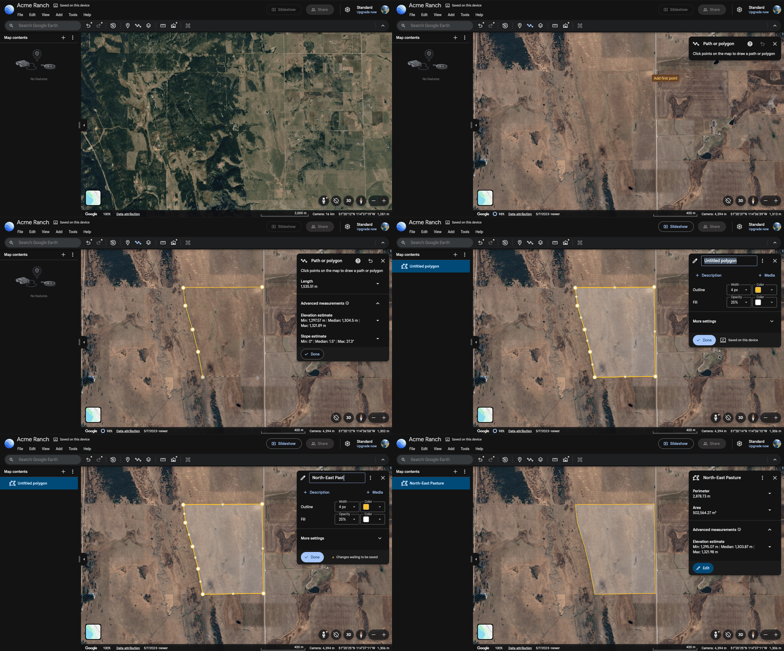
Here are some tips:
- Try to use the same names for your paddocks each year. This will allow you to compare a paddock's statistics across years.
- Try to be precise in drawing the boundaries. The boundaries are used to calculate the paddock's area. The boundaries you draw are also what will be shown in the data viewer, so it will look best if you avoid gaps and overlap between polygons (as best you can).
Step 3: Export To KML
Once you have drawn all your paddock boundaries, export it to a KML file by clicking File > Export as KML file. This is the file that you should upload when you are creating a season.